contact.aveo2026@gmail.com

AVEO 2026 · ICVGIP Workshop · Kolkata · 21 December 2026

Adapting Vision Foundation and Embedding Models for Earth Observation at Scale

Sixty-plus foundation models. A new generation of geospatial embeddings. Do they hold up in real-world applications, at continental scale and where labels are scarce?

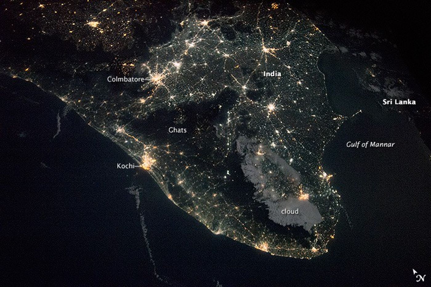
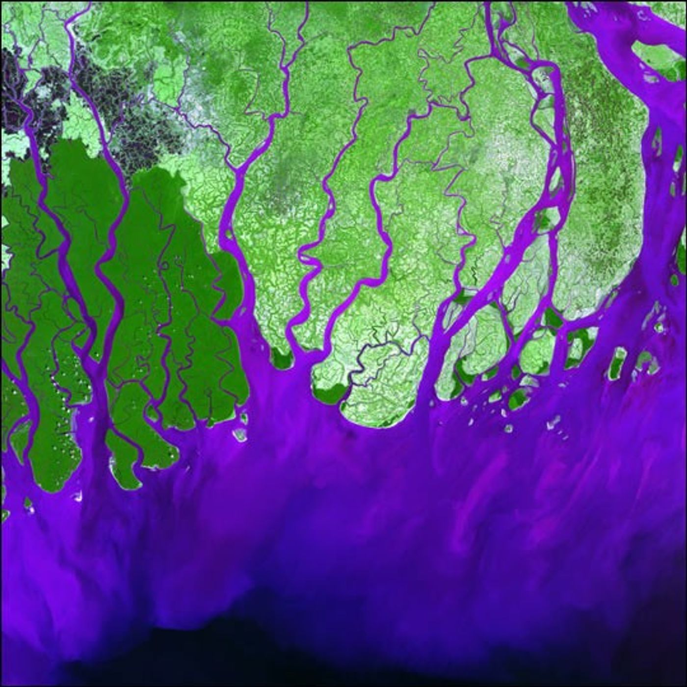
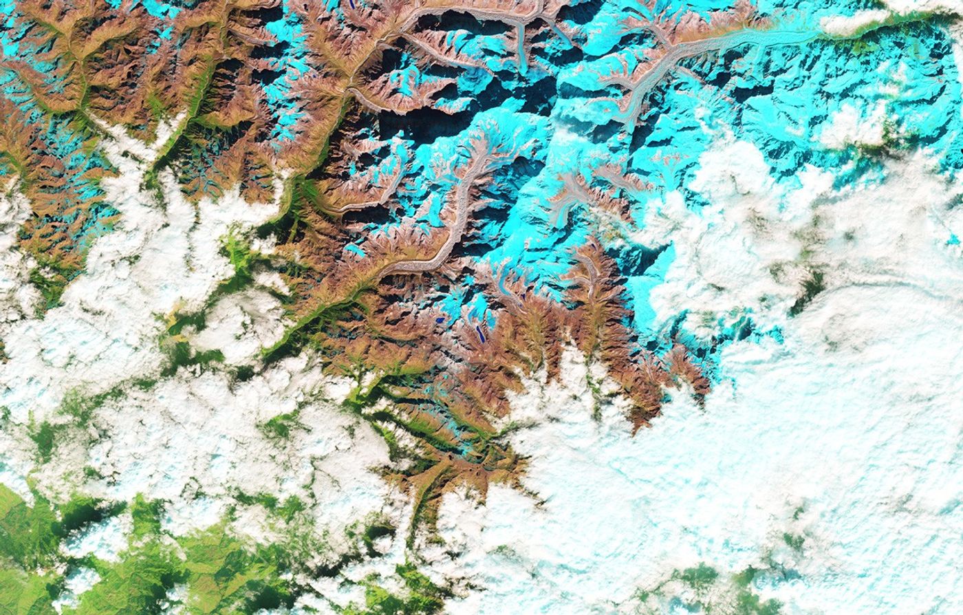
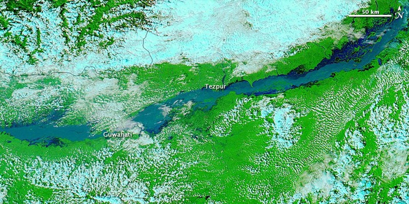
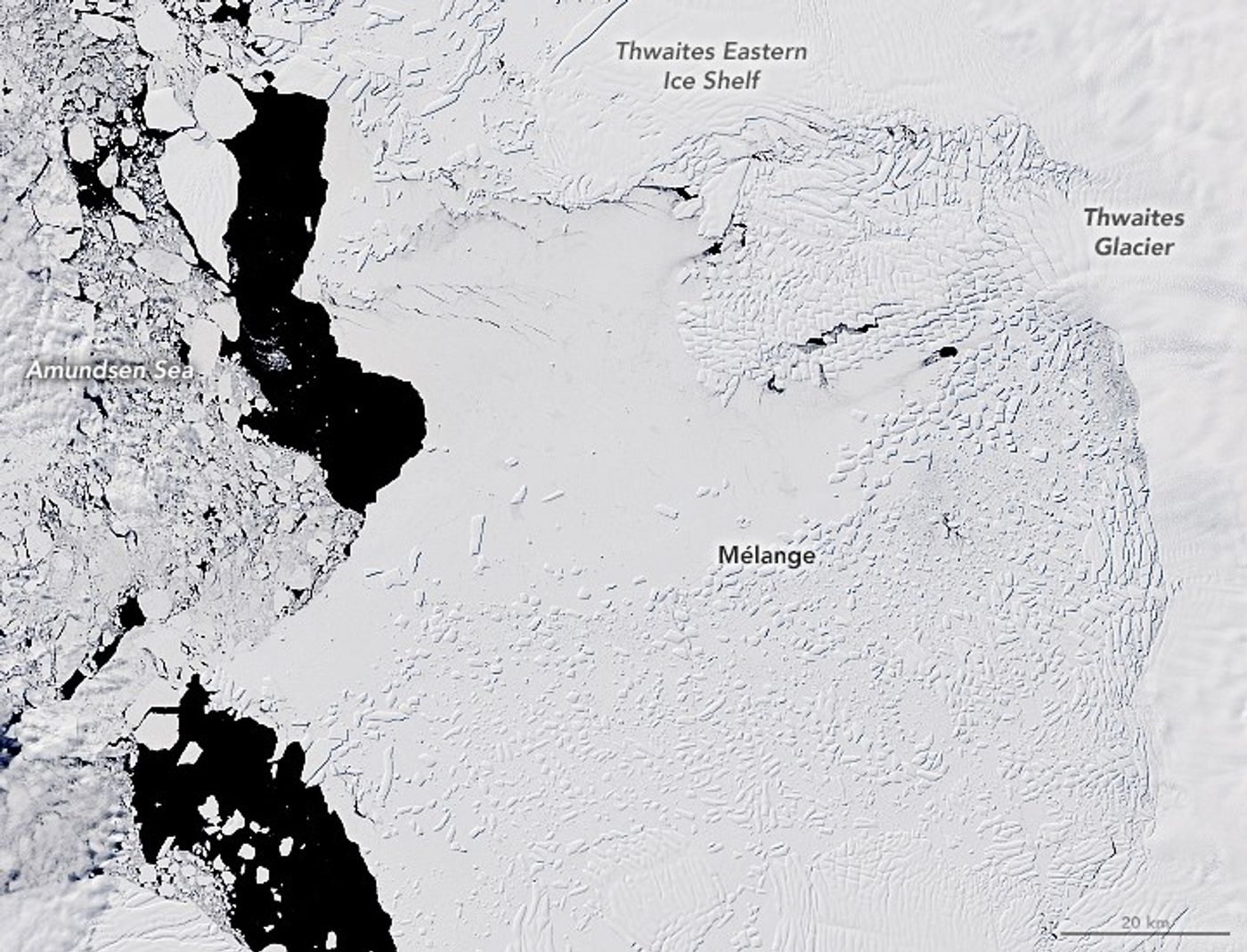
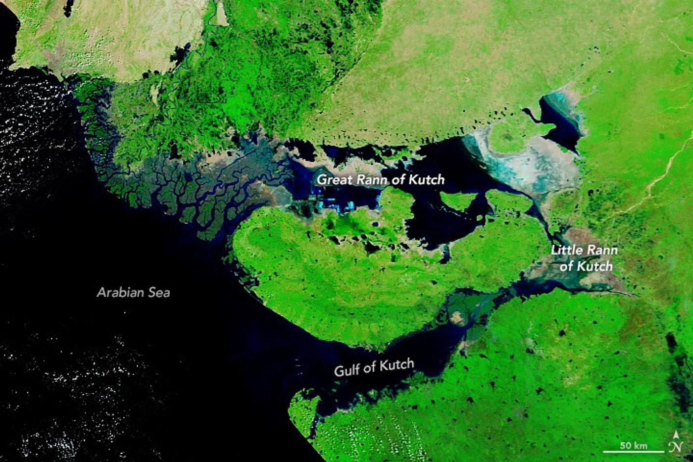
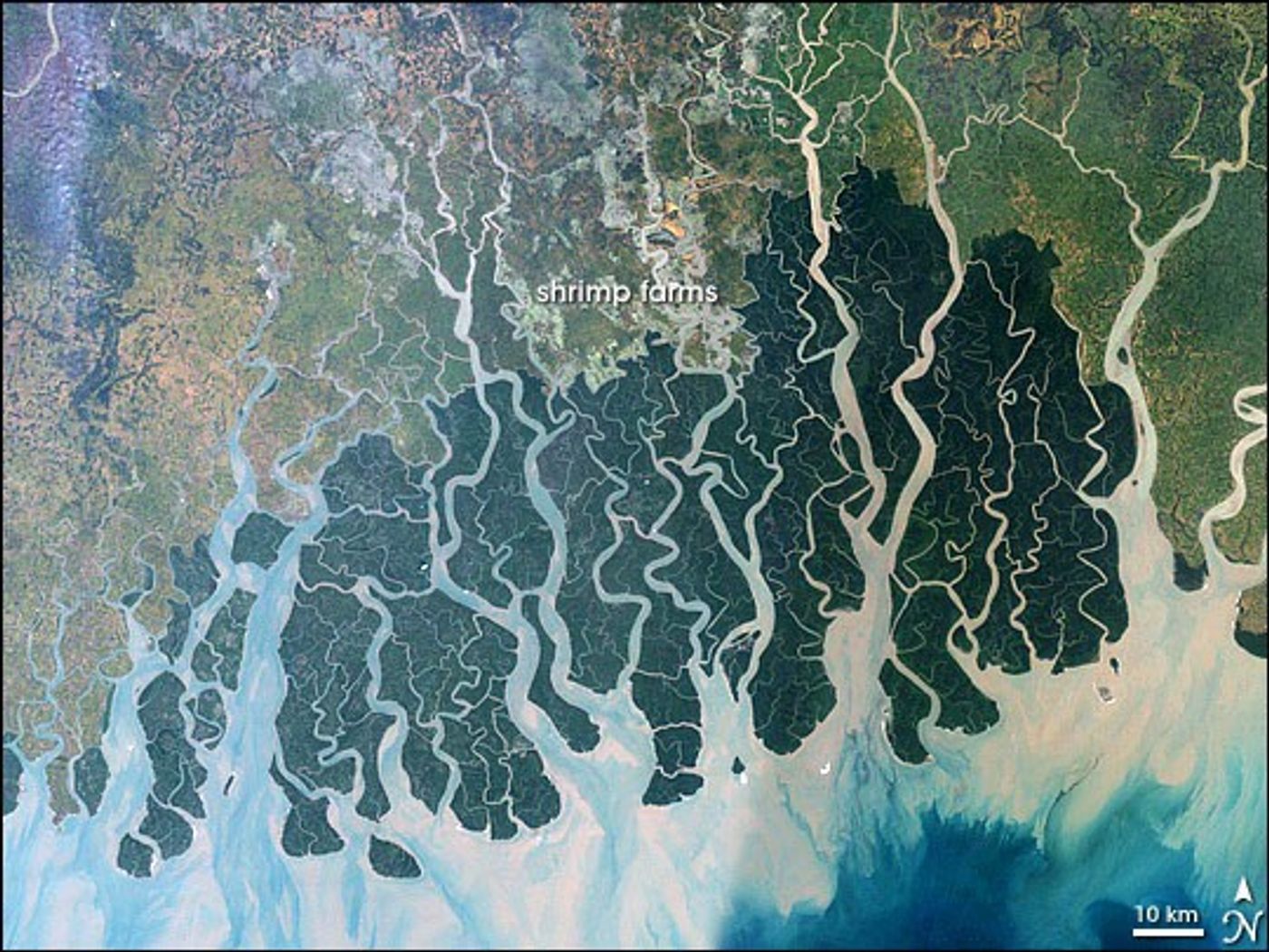
Southern India at night from the ISS: Kochi, Coimbatore, the dark Western Ghats, and Sri Lanka Ganges delta and the Sundarbans in false colour, Landsat 7, 2000 Sikkim Himalaya glaciers in false colour, Landsat 8, 2018 Brahmaputra River in flood near Guwahati and Tezpur, MODIS, September 2012 Thwaites Glacier and ice mélange, West Antarctica, Landsat 8, 2019 Rann of Kutch after the monsoon, MODIS, October 2020 Sundarbans mangrove forest and delta channels, Landsat 7, 2000
Host17th ICVGIP · Kolkata, India
Workshop daySun 21 Dec 2026 · Full day
VenueIndian Statistical Institute
SubmissionsOpenReview · 8 pages · double blind
ProgramInvited talks · orals · challenge

About

From benchmark scores to operational utility

Earth observation has moved from task-specific models to general-purpose pretrained representations such as Google's Satellite Embeddings and TESSERA. This workshop puts the people who build them in the same room as the remote sensing and Earth science researchers who have to rely on them.

Scale.Can one embedding drive continental mapping without region-by-region retraining?
Scarcity.Do foundation models really cut the label budget in underrepresented geographies?

Topics of interest

Including, but not limited to

Remote Sensing and Geospatial Intelligence Adaptation and Fine-tuning of Foundation Models for Earth Observation Large-scale Earth Observation: continental and global mapping Data-scarce and Low-resource Earth Observation Parameter-efficient Fine-tuning, Few-shot, Zero-shot and Transfer Learning Self-, Weakly and Semi-supervised Learning for Remote Sensing Flood Monitoring and Environmental Monitoring Forest and Land Cover Mapping, Land-use Change Detection Cryosphere: Glacier, Glacial Lake, Ice Sheet and Ice Shelf Monitoring Multimodal and Multi-sensor EO: optical, SAR, multispectral, hyperspectral, temporal Generalization, Domain Adaptation and Robustness across Regions, Sensors and Seasons Evaluation, Benchmarking and Uncertainty Quantification Scalability, Computational Efficiency and Operational Deployment Interpretability, Explainability and Scientific Validity of Representations Integrating Earth Science Knowledge with Foundation Models Open Datasets, Benchmarks, Pretrained Models and Embeddings Real-world Deployment, Decision Support and Operational EO Systems Industry Applications and Academia–Industry Collaboration in Geospatial AI

Important dates

Timeline

10 Oct 2026
Call for papers open
Website live
05 Nov 2026
Paper submission deadline
23:59 AoE · tentative
25 Nov 2026
Notification to authors
tentative
05 Dec 2026
Camera-ready due
tentative
21 Dec 2026
Workshop day
ISI Kolkata

Dates marked tentative will be confirmed with the ICVGIP workshop chairs. All deadlines are Anywhere on Earth.

Stay in the loop

Join the mailing list

Get the call for papers, speaker announcements, and challenge details as soon as they are posted.

Request to join →

Call for papers

What to submit, and how

Original papers that evaluate, adapt, or deploy foundation and embedding models for real-world Earth observation. Negative results and application papers from Earth science groups are explicitly welcome.

  1. Write it in the official ICVGIP 2026 template, anonymized.
  2. Submit on OpenReview (link posted when the call opens).
  3. Reviewed by computer vision and Earth observation experts.
  4. Choose an archival or non-archival track at submission.
  5. Accepted papers are presented as a short oral.
LengthUp to 8 pages, excluding references
TemplateOfficial ICVGIP 2026 paper template
ReviewDouble blind, multiple reviewers per paper
PlatformOpenReview (link to follow)
TracksArchival, in the ICVGIP 2026 workshop proceedings, or non-archival, for work under review or already published elsewhere
PresentationShort oral by at least one registered author

Challenge

Geospatial model-making challenge

Details to be announced

A hands-on challenge on a geospatial dataset is planned alongside the paper track. Dataset, task, and rules will be posted here closer to the call.

Invited speakers

Speakers

To be announced

Invited speakers from vision foundation modeling and Earth observation will be confirmed and posted here as the program comes together.

Schedule

Sunday, 21 December 2026

Tentative schedule to be announced

The day will combine invited talks, contributed orals, and the challenge session. The detailed running order will be posted here once the program is finalized.

Organizing committee

Organizers
Utathya AichUA
ML Engineer, CNH Industrial, India
Primary contact
Swalpa Kumar RoySKR
Associate Professor, Computer Science and Engineering, Tezpur University
Primary contact
Diptarka MandalDM
PhD Scholar, Mehta Family School of Data Science and AI, IIT Guwahati
Organizer
Saurabh KaushikSK
Postdoctoral Research Associate, University of Wisconsin–Madison
Organizer

Contact: contact.aveo2026@gmail.com · us4decaich@gmail.com · swalpa@tezu.ernet.in

Venue

Kolkata, December 2026

Indian Statistical Institute, Kolkata

Workshops and tutorials day of ICVGIP 2026, Sunday 21 December. Room to be announced.

203 B. T. Road, Kolkata 700108

ICVGIP 2026 runs 21–24 December, hosted by the Indian Statistical Institute with TCG CREST. Workshops are on the first day at ISI; main sessions follow at IIT Kharagpur Research Park, Kolkata.

Workshop attendance is through ICVGIP registration. See the main conference site for registration and travel.